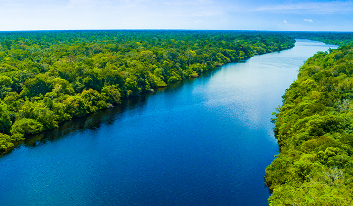
Satellite images are one of our most important tools for understanding the oceans, yet something as routine as the tides can blur the data scientists rely on. University of Michigan researchers think they’ve found a solution, one that could improve how we monitor a rapidly changing planet.


We use cookies to ensure you get the best experience on our website. By using this site, you accept our use of cookies.