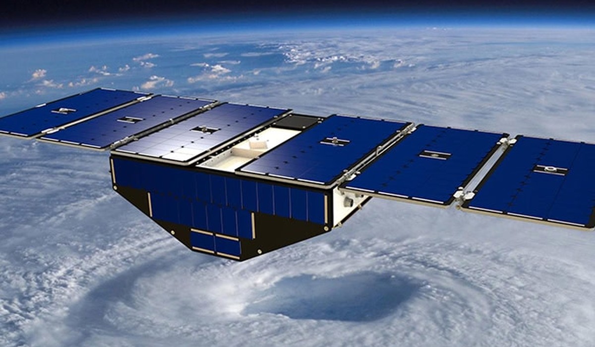
CYGNSS, a constellation of eight small satellites managed at U-M, transformed Earth science by using GPS signals reflected off Earth’s surface to measure hurricane winds, soil moisture, and more. Though the mission ends this December, the technology it pioneered is already shaping how scientists monitor floods, droughts, wildfires, and other natural hazards.